Coordinate Systems
Instructor: Matt Dunbar
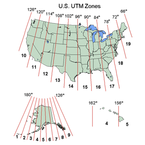
Coordinate Systems, the frameworks used to reference geographic locations, are one of the most important, but least understood, topics for GIS users. This workshop begins with a thorough examination of the fundamentals of Coordinate Systems, including their four main components: map projection, ellipsoids, datums, and units of measure. With this background information, we will cover a variety of exercises exploring how Coordinate Systems are handled in ESRI’s ArcMap. Participants will leave the workshop with the know-how to answer familiar Coordinate System questions such as, “why doesn’t my data line up?”, “what projection should I use to do X?”, and “my data has no coordinate system defined…what should I do?”
Prerequisites |
Prior GIS experience, such as our Intro to GIS workshop, is highly recommended. |
Outline |
|
Materials |
|
Additional Resources |
Map Projections – A Working Manual (1987), USGS Professional Paper by John P. Snyder [pdf] |